Bhotekoshi Flood Aftermath: How Rasuwa Is Recovering and What It Means for Travelers
Last updated: 3 November 2026 · By Sherpa Adventure, Kathmandu
On the morning of 26 August 2026, a massive rock-ice avalanche above Langtang sent a wall of debris and water down the Bhotekoshi and Trishuli rivers. It destroyed the Rasuwagadhi border crossing and devastated communities from Rasuwa to Nuwakot and beyond, making it one of Nepal's deadliest disasters since the 2015 earthquake.
As a Kathmandu-based company rooted in the Himalayas since 1979, we have followed the recovery closely. Many of the people affected are guides, porters, teahouse owners and drivers we have worked alongside for decades. This guide explains what happened, where recovery stands today, and what it means for anyone planning to travel in Nepal.
The Bhotekoshi Flood at a Glance
- What happened: A rock-ice avalanche broke away from the Langtang Lirung massif at about 5,200 m and turned into a fast debris flood through the Lhende Khola, Bhotekoshi and Trishuli rivers.
- When: Wednesday, 26 August 2026, at about 8:37 am Nepal time.
- Human toll: At least 1,455 dead and 5,285 missing in Nepal as of 5 October 2026, plus 43 dead and 519 missing in Tibet.
- Damage: About ?? 277.79 billion (US.8 billion) in Nepal, with rebuilding estimated at US.78 billion.
- Langtang Valley trek: Reopened on 29 October 2026 via new alternative trails from Dhunche.
- Rasuwagadhi–Kerung border: Still closed, with no confirmed reopening date.
- Rest of Nepal: Everest, Annapurna, Mustang, Manang, Kanchenjunga and most other trekking regions were not affected.
What Caused the Bhotekoshi Flood?
The Bhotekoshi flood was caused by a rock-ice avalanche, not by rain or a glacial lake outburst. At about 8:37 am on 26 August 2026, a huge section of glacier and bedrock broke away from the Langtang Lirung massif at around 5,200 m and fell roughly 1,200 m into the valley below (Wikipedia).
The collapse was so large that seismometers around the world recorded it as a magnitude 5.2 event. It was first mistaken for an earthquake, but the US Geological Survey later found the tremor was produced by the collapse itself.
As it fell, the ice and rock picked up loose sediment and turned into a fast, long-running debris flow. It poured into the Lhende Khola, which joins the Bhotekoshi at the Nepal–China border and becomes the Trishuli River downstream.
Within about seven minutes, the flood reached the Rasuwagadhi–Gyirong (Kerung) border crossing. From there it tore through settlements along a 72 km stretch of the Trishuli valley, in places rising as high as 80 m above the normal river level. No rain was reported that morning at the Rasuwa district headquarters.
Why There Was So Little Warning
Nepal and China had flood early-warning systems on this river, but they were designed for monsoon floods and glacial lake outbursts. A sudden avalanche-driven flood moved faster than they could detect, and upstream monitoring stations were swept away before they could send alerts. The first mobile alerts went out at 9:15 am, when nearly 680,000 warning texts were sent within a minute.
Scientists later found that satellite images had shown the glacier speeding up in the weeks before the collapse. Researchers quoted by the BBC, CNN and NPR said climate change, by weakening the permafrost that holds ice and rock together, probably made such an event more likely.
A Corridor Already Under Strain
This was the second major flood here in just over a year. In July 2025, a glacial lake outburst in Tibet destroyed the Miteri (Friendship) Bridge at Rasuwagadhi, and the border only reopened on 1 January 2026.
Note on names: the river hit in 2026 is the upper Trishuli, known locally as the Bhotekoshi. The Bhote Koshi in Sindhupalchok, popular for rafting and about 65 km to the east, is a different river and was not affected by this flood.
The Impact on People, Communities and Infrastructure
The flood struck five districts, Rasuwa, Nuwakot, Dhading, Gorkha and Chitwan, with the worst damage along the Trishuli valley through Timure, Syaphrubesi, Mailung, Betrawati, Trishuli Bazar and Devighat. Figures below are the latest official estimates reported by mid-October 2026 (Wikipedia).
| Impact |
Figure |
As of |
| Deaths in Nepal | At least 1,455 | 5 Oct 2026 |
| Missing in Nepal | 5,285, including 650 foreign nationals from 38 countries | 5 Oct 2026 |
| Injured in Nepal | 9,287 | 5 Oct 2026 |
| Deaths and missing in Tibet | 43 dead, 519 missing | 16 Sep 2026 |
| People affected | Over 84,000, including 32,021 children (UNICEF) | Oct 2026 |
| Houses destroyed | About 7,570 | Oct 2026 |
| Bridges damaged | 68 suspension bridges and 41 road bridges | Sep 2026 |
| Roads damaged | 69 km | Sep 2026 |
| Hydropower projects damaged | 12, disrupting about 430 MW (10.6% of Nepal's hydro and solar supply) | Sep 2026 |
| Total damage in Nepal | ?? 277.79 billion (US.8 billion) | Oct 2026 |
Families and Communities
Behind these numbers are entire villages. Around 102 children were orphaned and some 540 separated from a parent. Many families are still waiting for news of missing relatives, and Nepal's Cabinet has proposed shortening the time before a missing person can be legally declared dead, from 12 years to 45 days, so families can access support.
The Border and Trade
The Rasuwagadhi customs office was destroyed, and more than 300 vehicles queued at the border were swept away. Before the flood, this crossing carried about 30% of Nepal–China trade and was the main overland route for Kailash pilgrims, several of whom were among the missing.
Tourism and Livelihoods
The Nepal Tourism Board estimated tourism losses of ?? 52.67 billion. In the flood zone, 142 hotels and 60 restaurants were damaged, and around 200 tourism workers were reported missing. The International Labour Organization estimated that the jobs of 21,400 people living near the flood path were disrupted.
The Aftermath: Where Recovery Stands Now
Nepal ended search and rescue on 5 October 2026, after more than 13,795 people had been rescued, and has moved into rehabilitation. Temporary Bailey bridges are reconnecting the valley, but permanent rebuilding of roads, the border and hydropower will take years.
Recovery Timeline
| Date (2026) |
Milestone |
| 26 August | Flood strikes at 8:37 am; first mobile alerts sent at 9:15 am |
| Late August | Government declares the area a disaster zone for three months and offers free treatment to the injured |
| 31 August | China closes the Tatopani crossing; Korala in Mustang becomes the only open Nepal–China border point |
| 7 September | National day of mourning held across Nepal |
| 9 September | Electricity restored to 83% of Rasuwa and 95% of Nuwakot |
| 5 October | Search and rescue formally ends; focus shifts to rehabilitation |
| 11 October | A 73 m Bailey bridge over the Phalakhu river reconnects Rasuwa and Nuwakot by road (Kathmandu Post) |
| 16 October | 18 damaged suspension bridges repaired |
| 29 October | Langtang Valley trek reopens on alternative trails from Dhunche (OnlineKhabar) |
| Early November (planned) | Bailey bridge over the Bhotekoshi at Syaphrubesi, expected before Tihar (Kathmandu Post) |
Support for Survivors
The government is paying ?? 15,000 a month to families whose homes were damaged and has announced a scholarship programme for displaced and orphaned children. At the peak, 37 holding centres sheltered about 4,500 people, and more than 150 mental health professionals were deployed to Rasuwa and Nuwakot alongside a 24-hour helpline.
The Prime Minister's Natural Disaster Relief Fund had raised ?? 17.06 billion (about US0 million) by 7 October. Help also arrived from dozens of countries and agencies, including US million from the UN Loss and Damage Fund.
Rebuilding Roads and the Border
A government needs assessment puts the total cost of rebuilding at about ?? 723.67 billion (US.78 billion), more than half of it for the energy sector. The Department of Roads says that after the Syaphrubesi bridge, four more Bailey bridges are needed to open a temporary track to the Rasuwagadhi border.
Where to rebuild the customs and immigration offices is still undecided, and a Chinese technical team is assessing the route. Officials are also studying a Kathmandu–Kerung expressway, with tunnels and elevated sections, as a more flood-resilient long-term option.
Lessons for the Future
An expert panel is investigating the cause of the disaster. Nepal's disaster authority and the mountain research centre ICIMOD have also issued the "Kathmandu 10 Action Points" to improve early warning, preparedness and recovery for high-mountain hazards like this one.
What the Flood Means for Travelers
Nepal is open for travel, and most trekking regions were not affected by the Bhotekoshi flood. According to the Trekking Agencies' Association of Nepal (TAAN), Everest, Annapurna, Manang, Mustang, Kanchenjunga, Makalu, Rolwaling and Dolpo continued to operate normally (The Tourism Times). Only routes through the Rasuwa corridor need changes.
Route-by-Route Status
| Route |
Status (3 Nov 2026) |
What to know |
| Everest, Annapurna, Mustang, Manang, Kanchenjunga, Makalu | Not affected | Plan as normal |
| Langtang Valley and Kyanjin Gompa | Open since 29 Oct | Drive to Dhunche, then trek via Thulo Bharkhu, Brabal and Thulo Syaphru to Bamboo, Lama Hotel and Langtang. The old Syaphrubesi trailhead is not in use. |
| Gosaikunda | Open | Reachable from Dhunche, or on foot from Sundarijal via Helambu, the route TAAN recommended while roads were closed |
| Tamang Heritage Trail | Disrupted | Syaphrubesi and Timure were among the worst-hit places. Ask for current status before booking. |
| Ganesh Himal and Ruby Valley | Safe | Approach via Dhadingbesi or Arughat instead of Dhunche |
| Kailash via Rasuwagadhi–Kerung | Closed | No confirmed reopening date |
| Kailash via Lhasa or Simkot–Hilsa | Alternative routes | Fly to Lhasa and drive via Shigatse and Saga, or travel via Simkot–Hilsa in far-west Nepal (TAAN, September 2026). Tours run roughly May to October. |
A separate flood on the Budhi Gandaki in October also affected lower Manaslu trails, so check the latest status if you are planning the Manaslu Circuit.
Trekking in Langtang Now
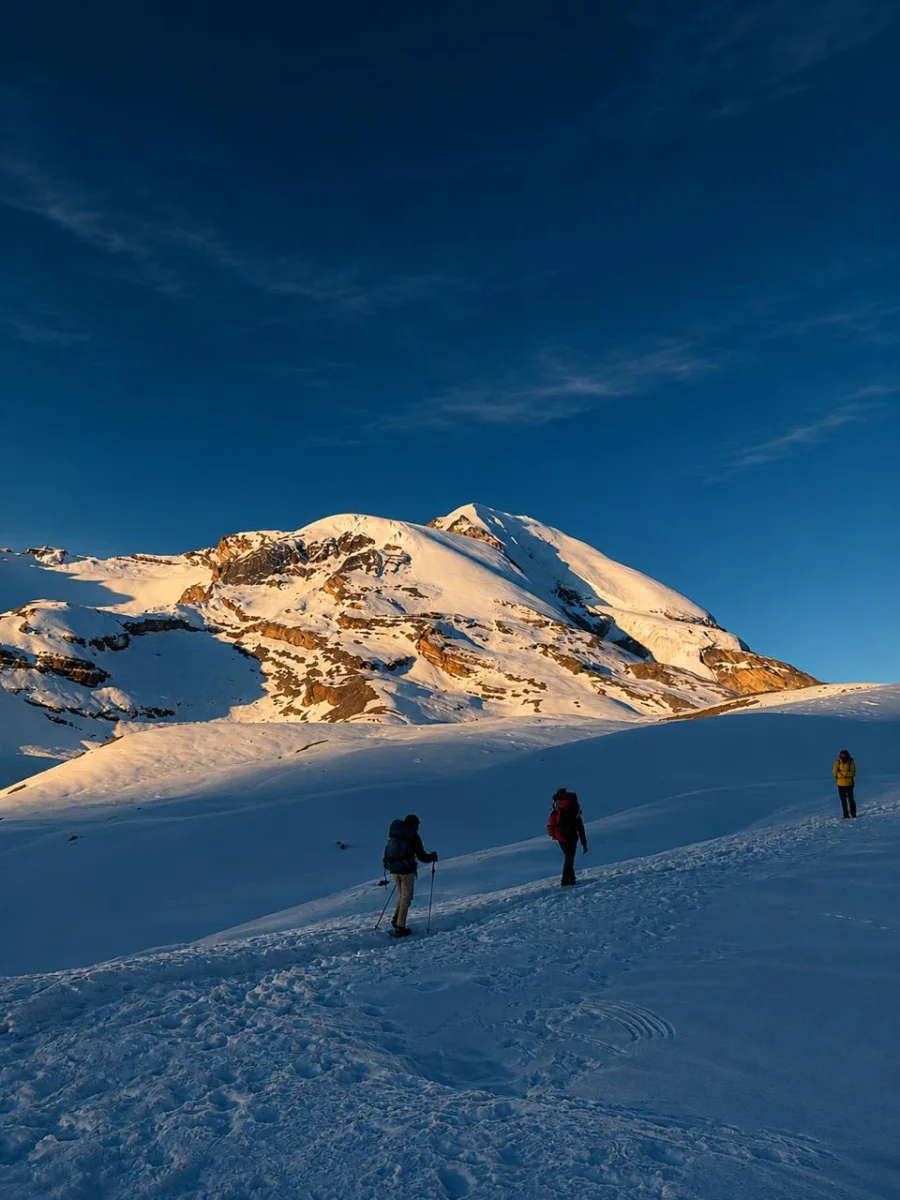
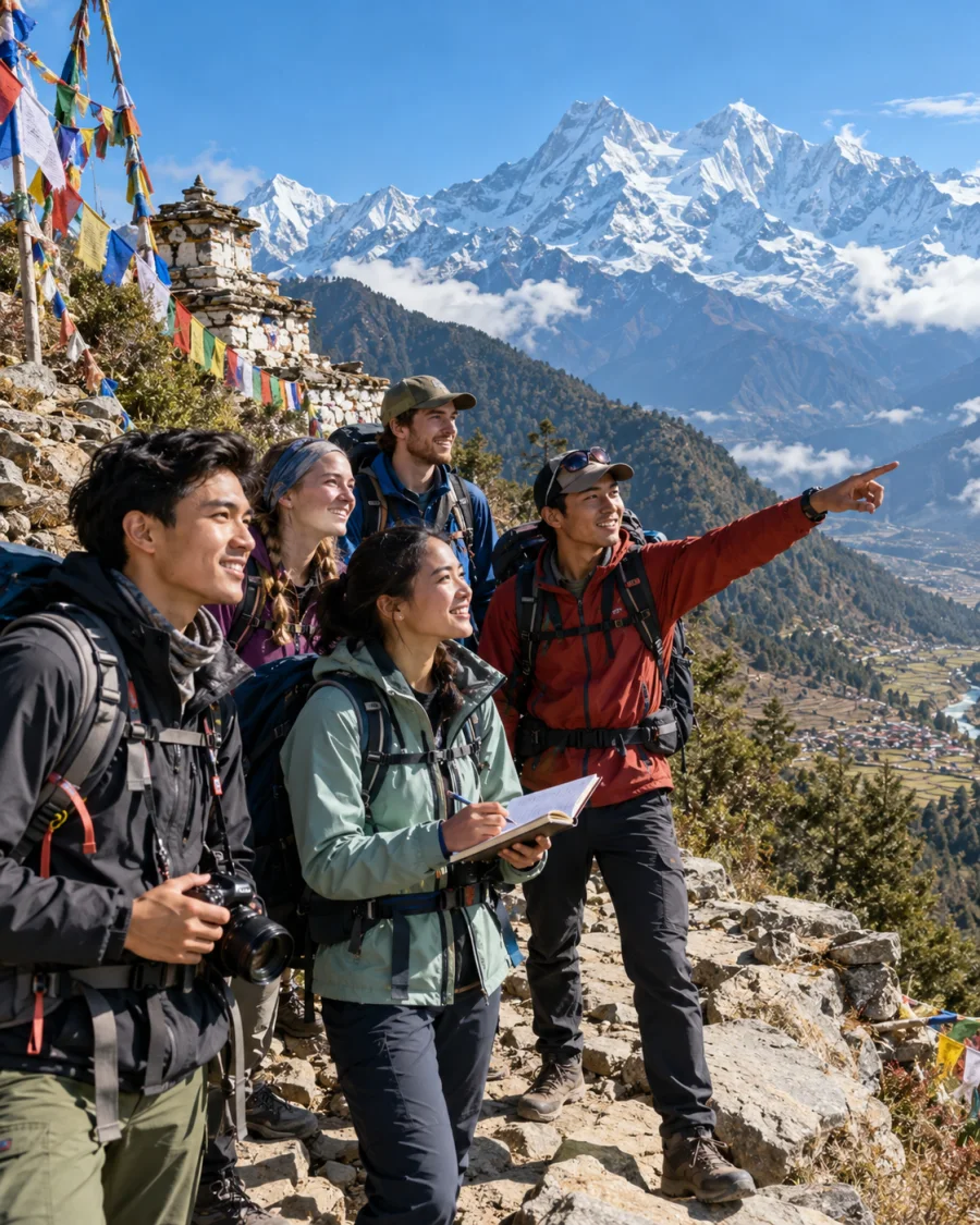
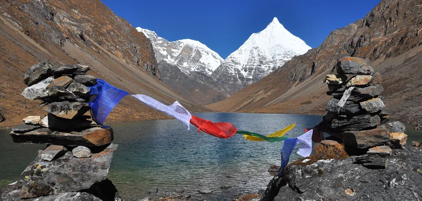
Langtang's upper valley, teahouses and trails were not destroyed. Local leaders say lodges are ready and that trekkers' return is vital to the recovery of the Tamang community. Expect a slightly different start: the trek now begins from Dhunche rather than Syaphrubesi, so allow an extra day.
See our Langtang Gosaikunda Trek for a route that fits the reopened trails.
Kailash and Tibet Overland Tours
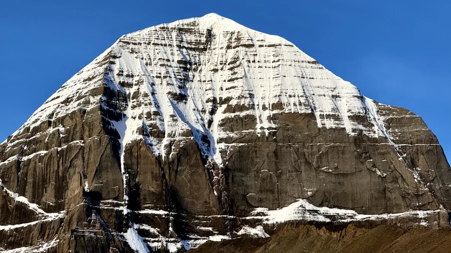
The Rasuwagadhi–Kerung crossing was the main overland route from Kathmandu to Mount Kailash, and it remains closed. Kailash journeys from Nepal now go by flying to Lhasa or through Simkot–Hilsa. Kailash tours normally run from about May to October, so most travelers are now planning for the 2027 season.
See our Mount Kailash Tour, which enters Tibet via Lhasa.
Practical Tips for 2026–2027
- Build in one or two buffer days for any trip through Rasuwa, where roads still rely on temporary tracks and Bailey bridges.
- Reconfirm road and lodge conditions two to three weeks before departure.
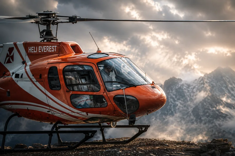
- Buy travel insurance that covers helicopter evacuation at your trek's maximum altitude.
- Book with a registered local agency, so your route can be adjusted quickly if conditions change.
Not sure which route suits you? Tell us your plans and we'll design a trip around current conditions.
How Travelers Can Support the Recovery
One of the most useful things travelers can do is come back. Tourism is a lifeline for Langtang and the wider Rasuwa district, and local leaders have said the return of trekkers is crucial to rebuilding livelihoods.
- Trek the reopened routes. Stay in local teahouses, eat in village kitchens and hire local guides and porters, so your spending reaches the families who need it most.
- Give through established channels. The Prime Minister's Natural Disaster Relief Fund, the Nepal Red Cross Society and UN agencies such as UNICEF are running relief and recovery work. Be cautious with unverified online fundraisers.
- Travel with respect. Many communities along the Trishuli are still grieving. Ask before taking photos of people or damaged homes, and avoid treating disaster sites as sightseeing stops.
- Share accurate information. After the flood, Nepal's Press Council ordered at least 72 social media users to remove misleading posts, including AI-generated footage. Share updates only from official or trusted sources.
The mountains that drew us all to Nepal are still here, and so are the people who make every journey possible. Travelling thoughtfully is one of the best ways to stand with them.
Frequently Asked Questions
What caused the Bhotekoshi flood in 2026?
A rock-ice avalanche broke away from the Langtang Lirung massif at about 5,200 m on 26 August 2026. It became a fast debris flow down the Lhende Khola, Bhotekoshi and Trishuli rivers. It was not caused by rain or a glacial lake outburst.
How many people died in the Bhotekoshi flood?
As of 5 October 2026, at least 1,455 people had died and 5,285 were missing in Nepal. In Tibet, 43 people died and 519 were missing as of 16 September 2026.
Which areas were affected by the flood?
Rasuwa, Nuwakot, Dhading, Gorkha and Chitwan districts were affected. The worst damage was along the Trishuli valley, from the Rasuwagadhi border through Syaphrubesi, Betrawati and Trishuli Bazar to Devighat.
Is the Langtang Valley trek open after the flood?
Yes. The Langtang Valley trek reopened on 29 October 2026 on alternative trails from Dhunche via Thulo Bharkhu, Brabal and Thulo Syaphru. The old Syaphrubesi trailhead is not in use.
Is the Rasuwagadhi–Kerung border open?
No. The Rasuwagadhi–Kerung border has been closed since 26 August 2026, and no reopening date has been confirmed. Nepal plans to install temporary Bailey bridges to restore a road track to the border first.
Can I still visit Mount Kailash from Nepal?
Yes. You can fly from Kathmandu to Lhasa and drive west via Shigatse and Saga, or travel via the Simkot–Hilsa route in far-west Nepal. The overland route through Kerung is closed.
Is Nepal safe to travel after the Bhotekoshi flood?
Yes, for most of the country. TAAN reported that Everest, Annapurna, Mustang, Manang, Kanchenjunga, Makalu and other major regions were not affected. Only routes through the Rasuwa corridor need changes.
Was the Bhote Koshi rafting river affected?
No. The 2026 flood hit the upper Trishuli in Rasuwa, which is also called the Bhotekoshi. The Bhote Koshi in Sindhupalchok, used for rafting, is a different river about 65 km to the east.
How can I help flood victims in Nepal?
Donate through established channels such as the Prime Minister's Natural Disaster Relief Fund or the Nepal Red Cross Society. Travelling to reopened areas like Langtang, and using local guides and teahouses, also supports recovery.
Sources
- 2026 Nepal–Tibet floods, Wikipedia, accessed 3 November 2026
- Nepal plans temporary bridges to reopen flood-hit Rasuwagadhi border crossing, The Kathmandu Post, 30 October 2026
- Langtang Valley trek reopens, OnlineKhabar, 29 October 2026
- Bailey bridge restores road link between Rasuwa and Nuwakot after six weeks, The Kathmandu Post, 11 October 2026
- Most trekking destinations safe, but access routes still disrupted: TAAN, The Tourism Times, 11 September 2026
 SEASON All Year
 DURATION 14 Days
 DIFFICULTY Strenous